Project Description

2012–Present
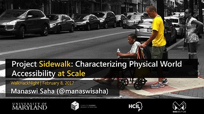
Roughly 30.6 million individuals in the US have physical disabilities that affect their ambulatory activities; nearly half of those individuals report using an assistive aid such as a wheelchair, cane, crutches, or walker. Despite comprehensive civil rights legislation for Americans with disabilities, many city streets, sidewalks, and businesses remain inaccessible. The problem is not just that street-level accessibility affects where and how people travel in cities but also that there are few, if any, mechanisms to determine accessible areas of a city a priori.

This project describes a two-pronged vision: first, to develop scalable data collection methods for acquiring sidewalk accessibility information using a combination of crowdsourcing, computer vision, and online map imagery, and second, to use this new data to design, develop, and evaluate a novel set of navigation and map tools for accessibility. Our overarching goal is to transform the ways in which accessibility information is collected and visualized for every sidewalk, street, and building façade in America.

Publications

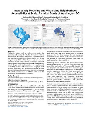
Interactively Modeling and Visualizing Neighborhood Accessibility at Scale: An Initial Study of Washington DC

Anthony Li, Manaswi Saha, Anupam Gupta, Jon E. Froehlich

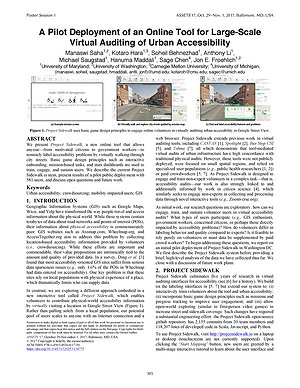
A Feasibility Study of Using Google Street View and Computer Vision to Track the Evolution of Urban Accessibility

Ladan Najafizadeh, Jon E. Froehlich

Extended Abstract Proceedings of ASSETS 2018

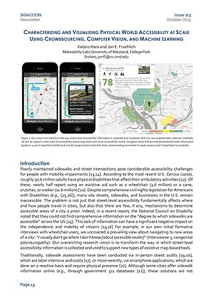
Characterizing and Visualizing Physical World Accessibility at Scale Using Crowdsourcing, Computer Vision, and Machine Learning

Kotaro Hara, Jon E. Froehlich

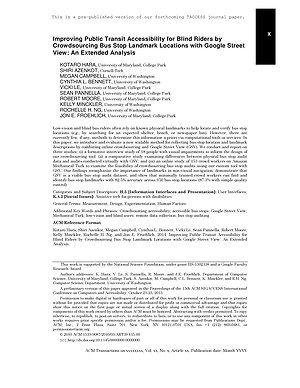
Improving Public Transit Accessibility for Blind Riders by Crowdsourcing Bus Stop Landmark Locations with Google Street View: An Extended Analysis

Kotaro Hara, Shiri Azenkot, Megan Campbell, Cynthia Bennett, Vicki Le, Sean Pannella, Robert Moore, Kelly Minckler, Rochelle Ng, Jon E. Froehlich

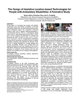
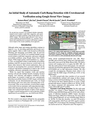
An Initial Study of Automatic Curb Ramp Detection with Crowdsourced Verification using Google Street View Images

Kotaro Hara, Jin Sun, Noa Chazan, David Jacobs, Jon E. Froehlich

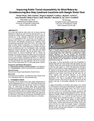
Improving Public Transit Accessibility for Blind Riders by Crowdsourcing Bus Stop Landmark Locations with Google Street View

Kotaro Hara, Shiri Azenkot, Megan Campbell, Cynthia Bennett, Vicki Le, Sean Pannella, Robert Moore, Kelly Minckler, Rochelle Ng, Jon E. Froehlich

| Best Paper Award

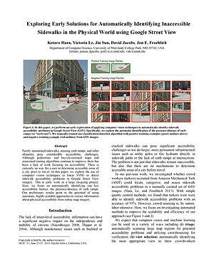
Exploring Early Solutions for Automatically Identifying Inaccessible Sidewalks in the Physical World using Google Street View

Kotaro Hara, Victoria Le, Jin Sun, David Jacobs, Jon E. Froehlich

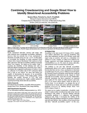
Combining Crowdsourcing and Google Street View to Identify Street-level Accessibility Problems

Kotaro Hara, Victoria Le, Jon E. Froehlich

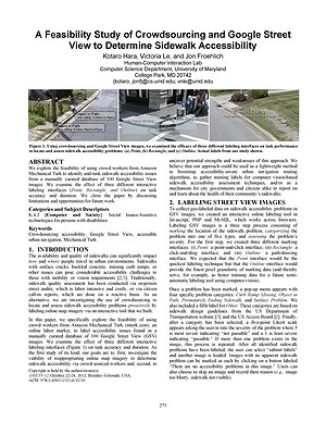
A feasibility study of crowdsourcing and google street view to determine sidewalk accessibility

Kotaro Hara, Victoria Le, Jon E. Froehlich

Talks

Making with a Social Purpose

April 6, 2017 | Lecture Series at the Laboratory for Telecommunication Sciences

LTS Auditorium, College Park, MD

Interactive Computational Tools for Accessibility

Nov. 7, 2016 | Diversity in Computing Summit 2016

College Park, Maryland

Tech+Design: Interaction Design for a Purpose

Nov. 3, 2016 | Technica: Tech+X Talk Series

University of Maryland, College Park

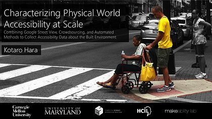
Characterizing Physical World Accessibility at Scale

Nov. 3, 2016 | GroupSight @ HCOMP2016

Austin, Texas